
Route: Troutbeck Tongue
Area: Far Eastern Lake District
Date of walk: 13th June 2013
Walkers: Andrew
Distance: 7.8 miles
Ascent: 1,000 feet
I doubt whether Mountain Rescue have ever attended an incident on this fell. It would be impossible to get lost, and hard to sustain an injury on its gentle slopes
I parked at Church Bridge just outside Troutbeck and walked along the valley, past the nose of Troutbeck Tongue, and crept up around the back. This must be one of the easiest ascents up a fell in the whole district, it was long but so gradual that I hardly noticed I was going uphill. There was a lovely view of Windermere from the summit
After the customary cheese and tomato sandwich at the top, I descended down the nose of the fell, quite steep but very easy, and then returned to Troutbeck along quiet lanes and paths, with wild flowers lining the way. Although the fell lacks drama, it more than makes up for it by the beauty of the surroundings, and I really enjoyed this walk
Click on the icon below for the route map (subscribers to OS Maps can view detailed maps of the route, visualise it in aerial 3D, and download the GPX file. Non-subscribers will see a base map)

Scroll down – or click on any photo to enlarge it and you can then view as a slideshow

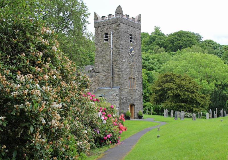
Jesus Church Troutbeck, just after Church Bridge

Troutbeck Tongue is the small fell in the foreground

Looking across the valley to Troutbeck

Closer to Troutbeck Tongue

I walk up the valley, with Troutbeck Tongue on the left, and go up via the back door

It was a surprise to see bluebells in flower on open fellside in the middle of June

The path crosses to the other side of Hagg Gill

The end of the valley - at this point I turned around to climb up the ridge leading to the top of Troutbeck Tongue

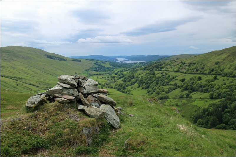
Windermere from the summit
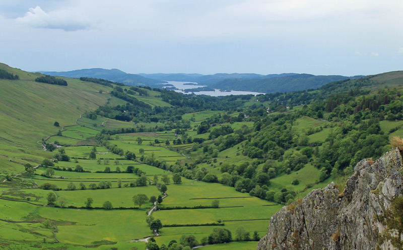
A good reason for doing the walk this way round - the view is in front of me during the descent

The foot of the Tongue from the nose

Bonnie

The way back to Troutbeck village was beautiful throughout

A view back to Troutbeck Tongue

Wild flowers lined the hedgerows

Buttercup meadow

Ings Bridge

Trout Beck….

..and Troutbeck
The path brings me to the start point, Jesus Church
