
Route: Rydal Water
Area: Central Lake District
Date of walk: 12th November 2016
Walkers: Andrew and Gilly
Distance: 4.2 miles
Weather: Cloudy
We’d been planning a different walk today, but as we drove from the north lakes to the south, we passed by Grasmere and Rydal Water and decided we’d had enough of the car and that it was time to get our walking boots on without further delay
We parked in the car park at Pelter Bridge, just beyond Rydal Water, and followed the track to the head of the lake
Near the point where the River Rothay flows into the lake there’s a choice of a low level path or a high level one and we decided to take the high road, which gave us good views over the lake as we walked above the southern shore
Just before the start of Loughrigg Terrace we descended into White Moss Wood, first crossing the river and then the road, and from there climbing uphill to join the Coffin Road. This stony track dates back to the days when St Oswald’s in Grasmere was the only parish church with a graveyard
The track took us above the other shore of Rydal Water to Rydal Hall, where we made a short detour to walk through the grounds, and from there it was a short stroll back to the start of this classic low level walk
For other walks here, visit my Find Walks page and enter the name in the ‘Search site’ box
Click on the icon below for the route map (subscribers to OS Maps can view detailed maps of the route, visualise it in aerial 3D, and download the GPX file. Non-subscribers will see a base map)

Scroll down – or click on any photo to enlarge it and you can then view as a slideshow

Before the start of the walk I made an early morning visit to Buttermere

Comb Beck flowing out of Burtness Comb

The bothy at the head of the lake…


Fleetwith Pike…


On with the walk as we head towards Rydal Water from the car park by Pelter Bridge


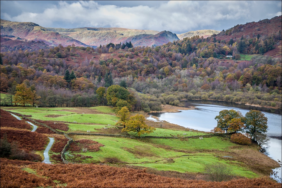
Rydal Water

View of the low level path from the higher level one

Looking back


Lots of water running down from the fells after recent heavy rain


Loughrigg Cave

Looking down to Rydal Water


We descend to join the lower path

Looking back along the lower path


White Moss Wood

We cross the footbridge over the River Rothay

The path is flooded here and we make a short diversion to our left

A swollen River Rothay

Having crossed the road at the halfway point we pass by some waterfalls as we climb uphill towards the Coffin Road


The Coffin Road

Water, water everywhere


Rydal Water again

Approaching Rydal near the end of the Coffin Road

We make a short diversion into the grounds of Rydal Hall

The Grot, a Grade II listed building, built in 1668 to frame the view of Rydal Beck Waterfall

The end of the walk as we cross over Pelter Bridge

Back home, a red squirrel in the garden
