
Route: Laxton
Area: East Yorkshire
Date of walk: 12th January 2014
Walkers: Andrew Gilly and James
Distance: 6.4 miles
Ascent: 100 feet
The landscape in these parts is flat for miles around with not a hill in sight, but there is a unique atmosphere to the area which makes it well worth a visit
We parked near Saltmarshe Station, which confusingly is in Laxton not Saltmarshe, and walked out of the village in the direction of the River Ouse
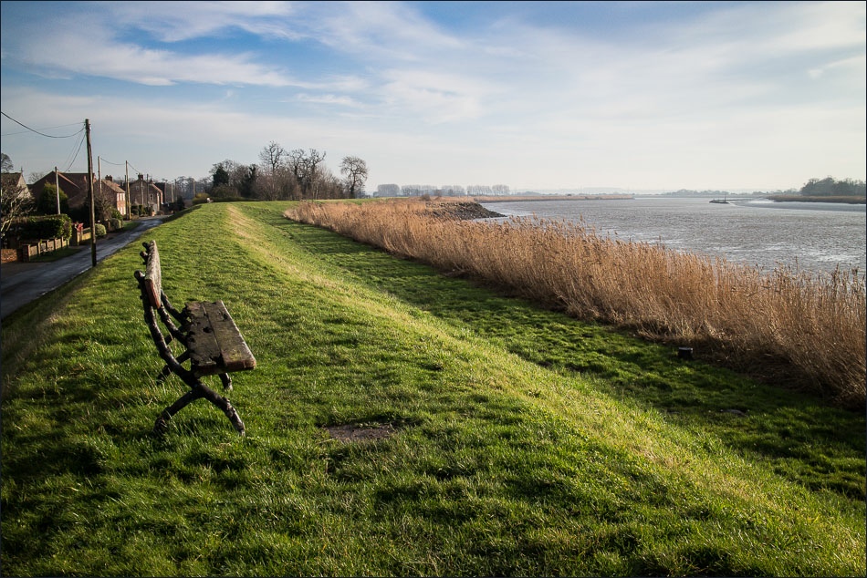
We soon arrived at the flood bank and made our only ascent of the day – about 10 feet up the slope to the top of the embankment. We then walked along the top of the bank following the course of the Ouse as far as Yokefleet
There were clear signs of the flooding at Yokefleet which happened just over a month ago when the river overtopped the embankment. After leaving the village we completed the circuit by walking back to Laxton along quiet country lanes
Click on the icon below for the route map (subscribers to OS Maps can view detailed maps of the route, visualise it in aerial 3D, and download the GPX file. Non-subscribers will see a base map)

Scroll down – or click on any photo to enlarge it and you can then view as a slideshow

Saltmarshe Station Laxton

The road to Saltmarshe


Saltmarshe, with the river defence embankment on the right

River Ouse looking east in our direction of travel


Looking across to the south bank

Walking out of Saltmarshe

Further along the embankment


I believe that this is a barn owl box - if anyone knows for sure please contact me

Looking across to Little Reedness

The Church of Mary Magdalene


Saturated fields as we approach Yokefleet

Yokefleet Mill

Yokefleet


Leaving Yokefleet


Back in Laxton, St Peter’s Church
