
Route: Lanthwaite Hill and Crummock Water
Area: Western Lake District
Date of walk: 6th June 2015
Walkers: Andrew Gilly and Fiona
Distance: 3.0 miles
Weather: Mostly sunny
It had rained for most of the day and we’d almost given up hope of a walk when later in the afternoon the clouds parted to give way to sun and blue skies
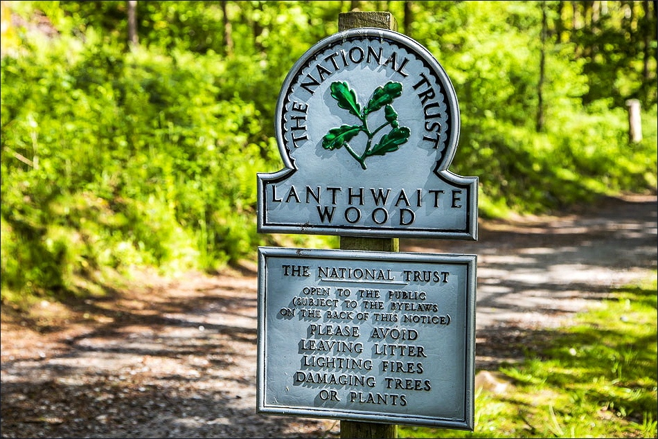
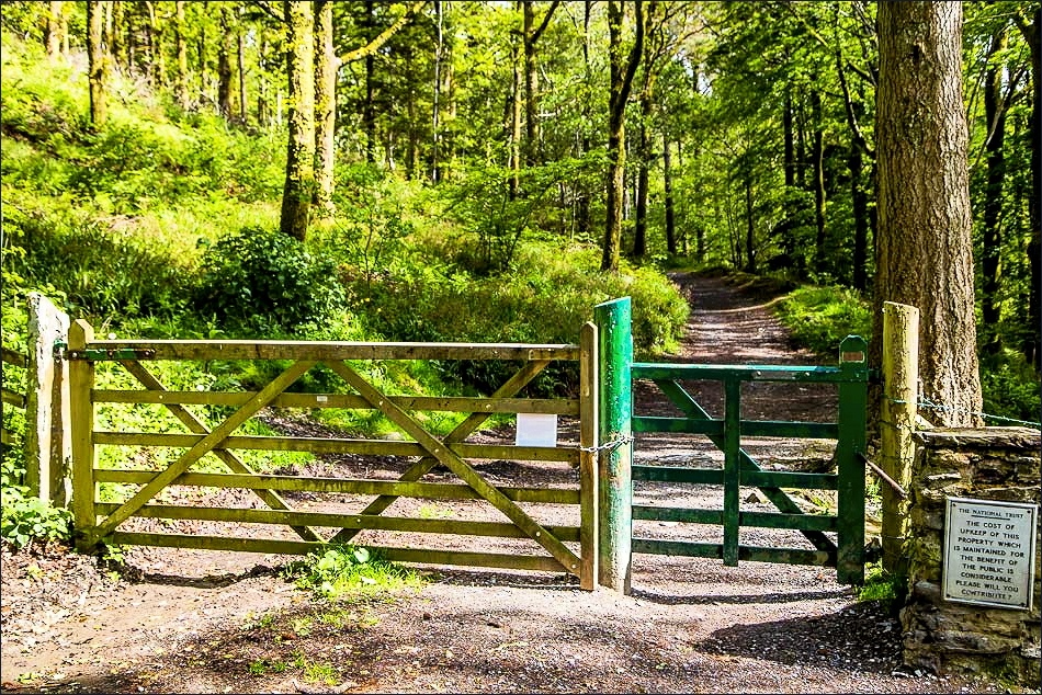
We jumped in the car and made the 5 minute journey to the National Trust car park at Scale Hill. From the car park we climbed steeply uphill to the top of Lanthwaite Hill. This is one of our favourite places in lakeland. Although the hill is a small one it has big and very beautiful views over a large chunk of the Western Lake District. After admiring these for a few minutes we descended into Lanthwaite Wood and walked along the shore of Crummock Water to its foot, where another tremendous view awaited us
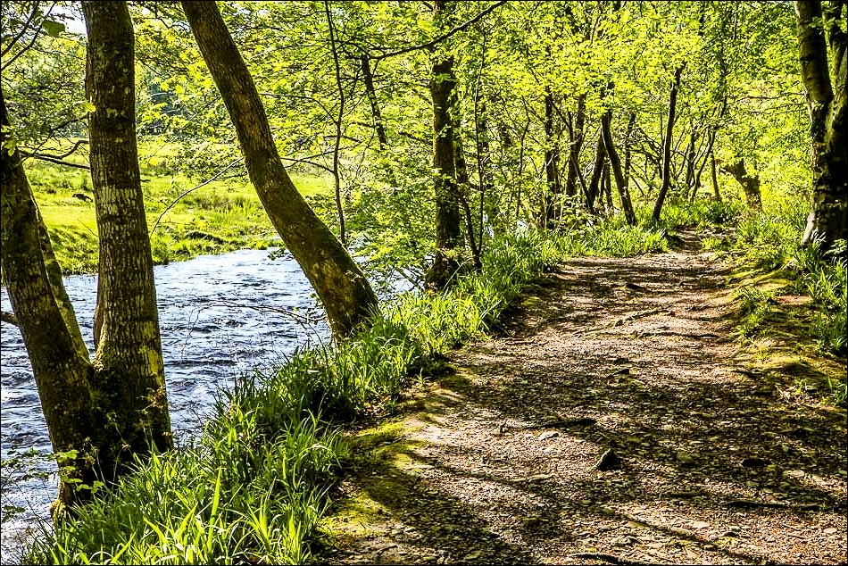
The last part of the walk was along the bank of the River Cocker back to the car park
It was a only a short walk but one that was packed full of beauty every step of the way
For other walks here, visit my Find Walks page and enter the name in the ‘Search site’ box
Click on the icon below for the route map (subscribers to OS Maps can view detailed maps of the route, visualise it in aerial 3D, and download the GPX file. Non-subscribers will see a base map)

Scroll down – or click on any photo to enlarge it and you can then view as a slideshow

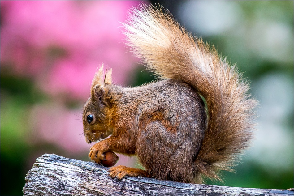
Red squirrels kept us entertained in the garden as we waited for the weather to improve
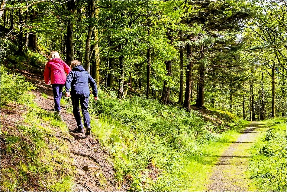
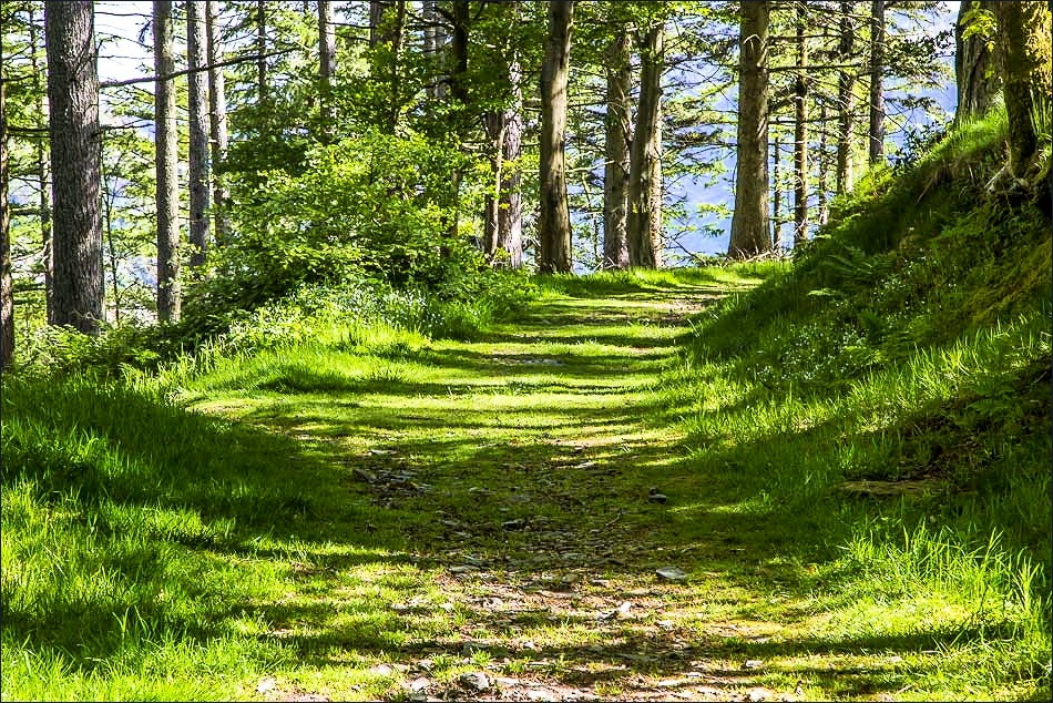
Later on, the start of the walk
The path ahead leads directly to Crummock Water but instead we turn left uphill here
Another left fork uphill
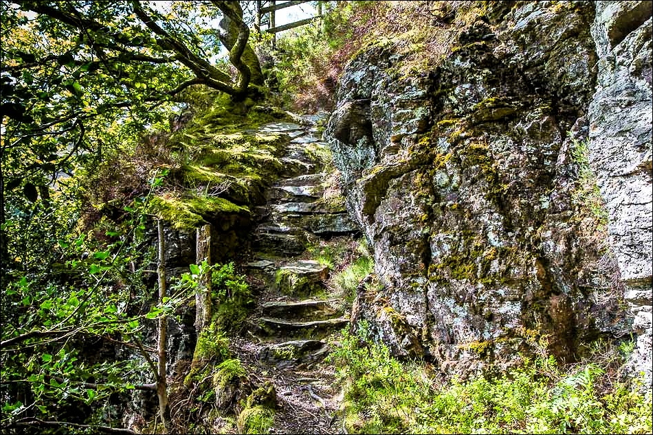
Rocky staircase near the top

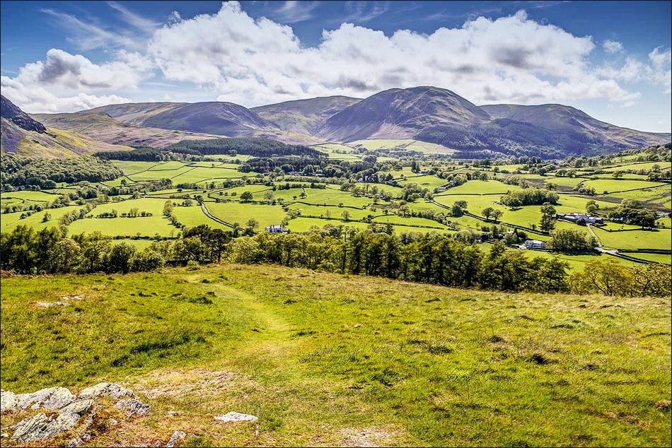
We emerge from Lanthwaite Wood onto Lanthwaite Hill

Happy sister, happy wife
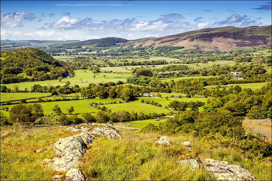
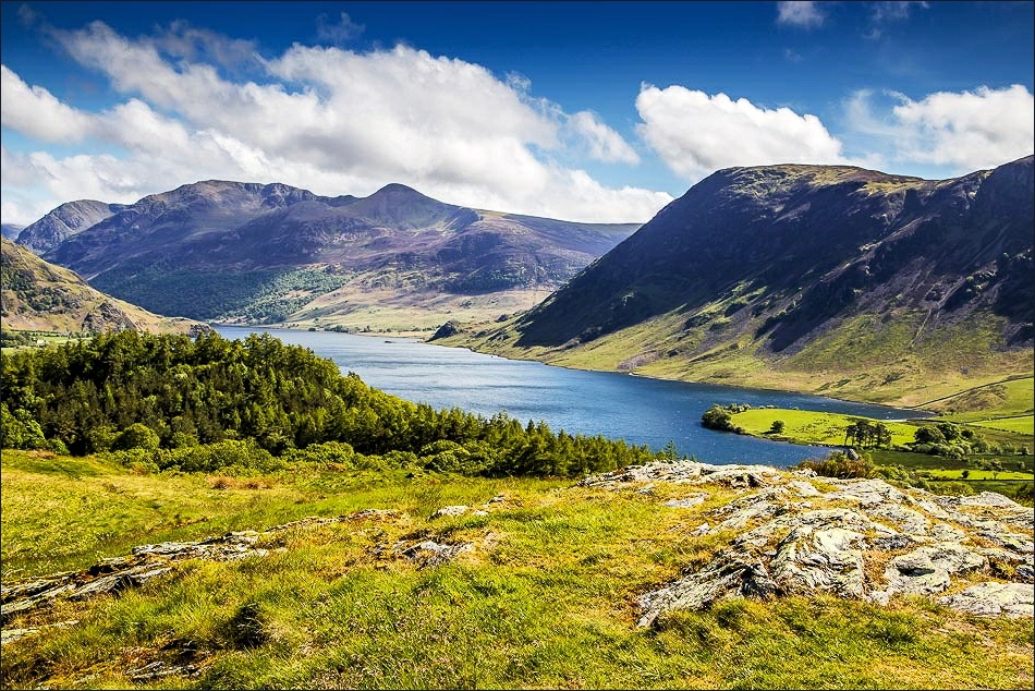
From Lanthwaite Hill - sweet Lorton Vale…
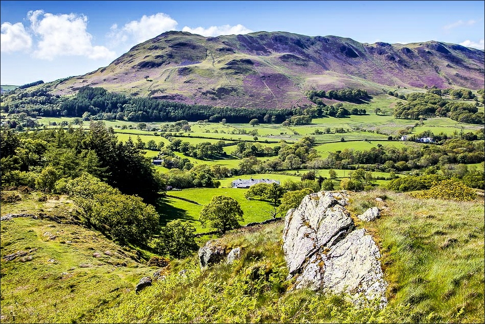
Low Fell…

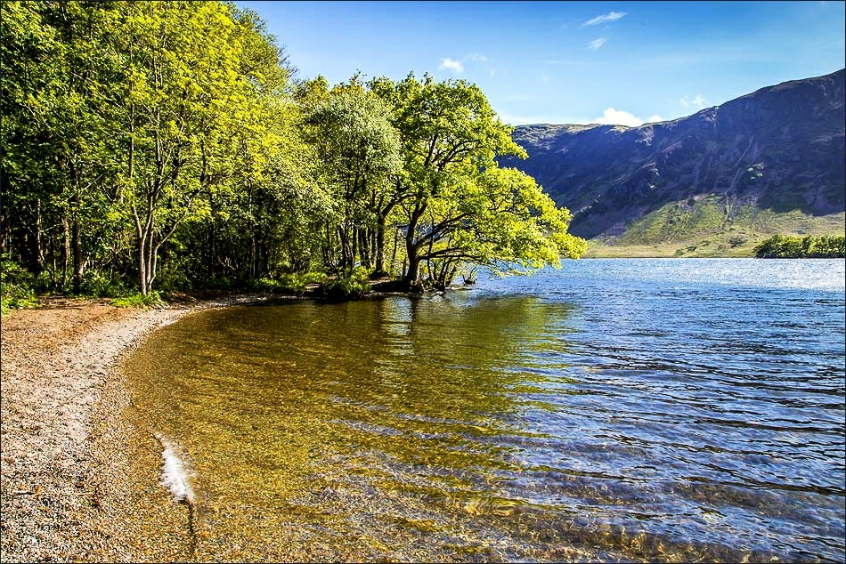
Crummock Water…
Loweswater…

Grasmoor…

Rannerdale Knotts …
and Loweswater again
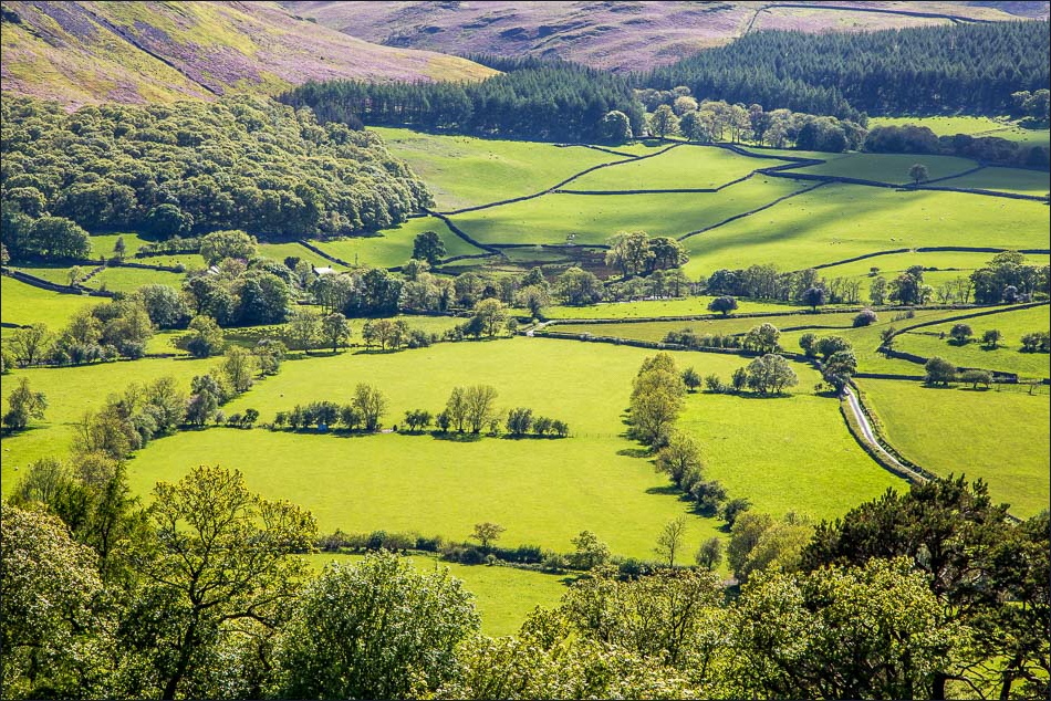
We descend Lanthwaite Hill in the direction of Crummock Water

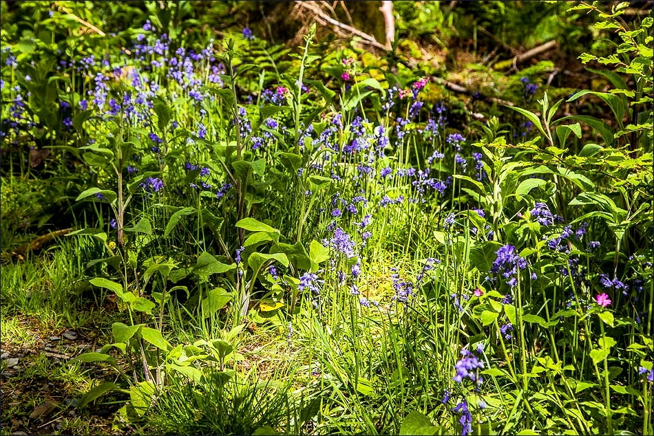
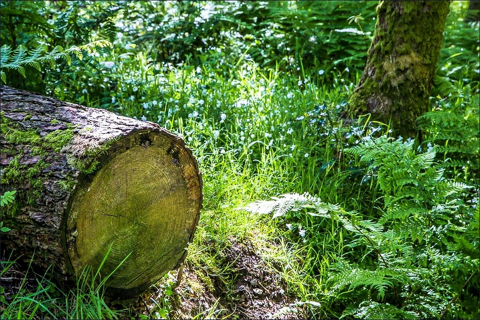
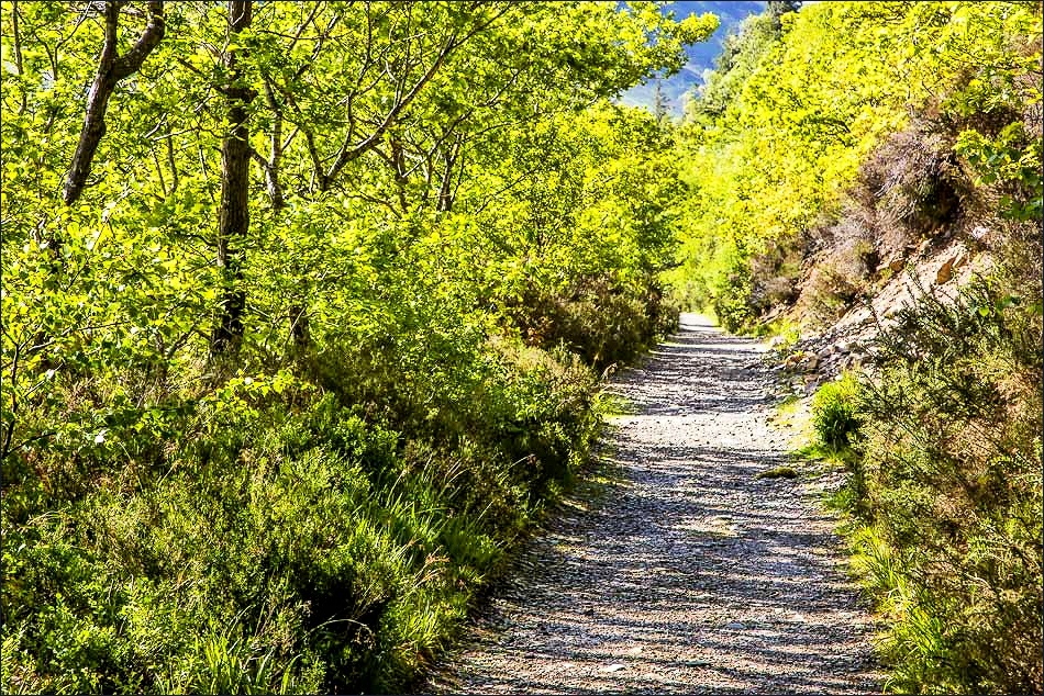
Lanthwaite Wood…
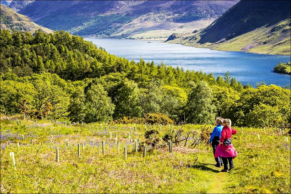
Down by the shore of Crummock Water

Looking across to Mellbreak

Looking towards Low Fell from the boathouse

Rannerdale Knotts and the High Stile Range

We follow the path past the boathouse along the east shore of the lake…
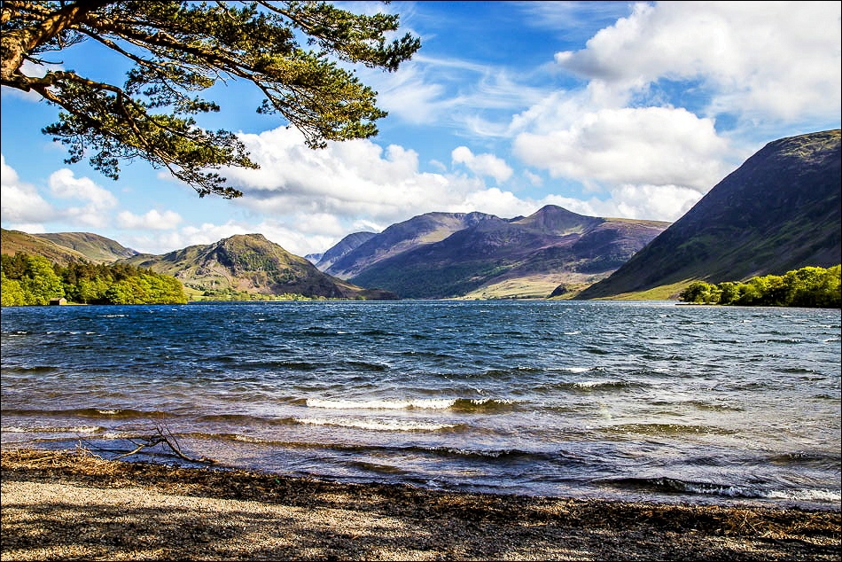
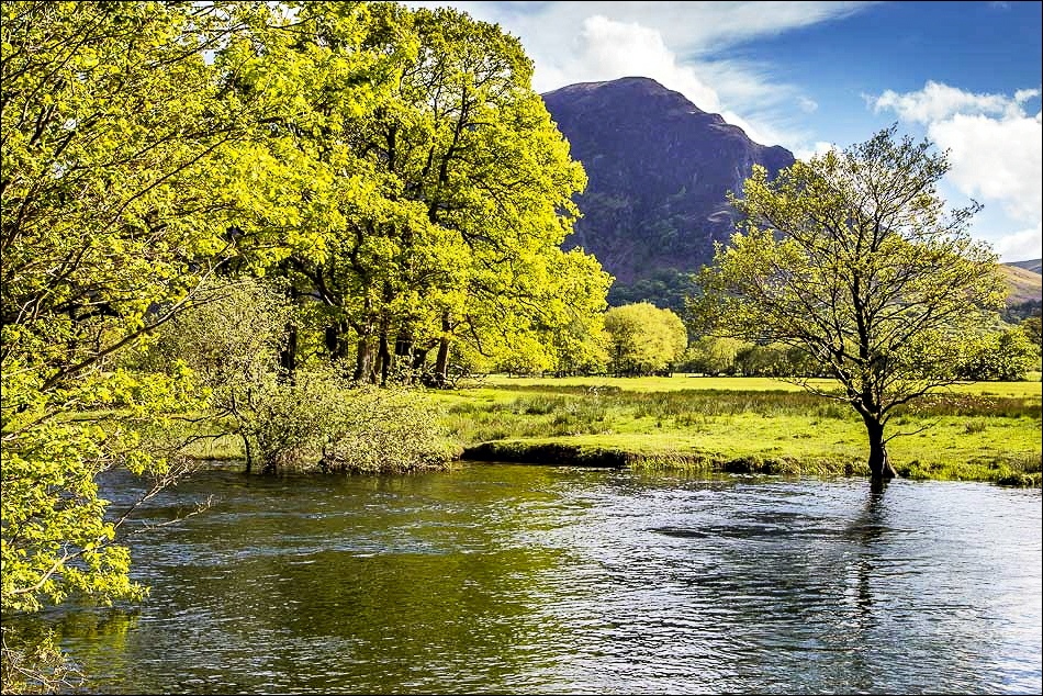
View from the foot of Crummock Water

Mellbreak

The fish ladder at the foot of the lake
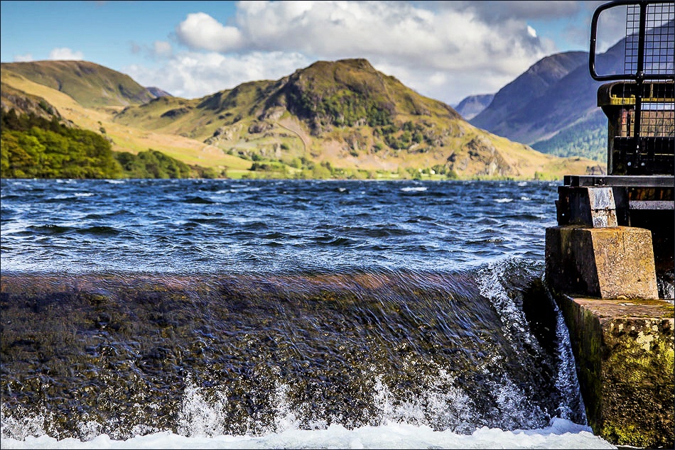
The point where Crummock Water forms the start of the River Cocker

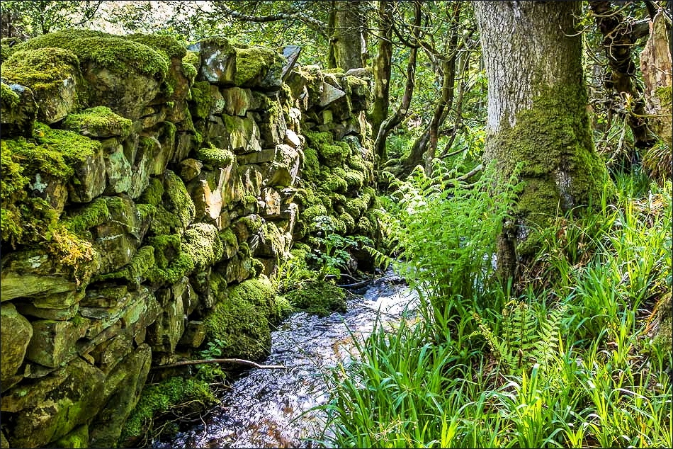
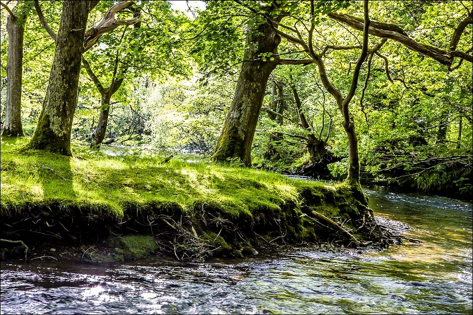
Some views along the Cocker as we walked beside its banks…

The river monitoring station back at the start - the plaque on the wall shows the height of the floods in November 2009

Back home
