
Route: Lanthwaite Hill
Area: Western Lake District
Date of walk: 30th August 2017
Walkers: Andrew and Gilly
Distance: 2.1 miles
Ascent: 400 feet
Weather: Sunny
This is one of our favourite walks, thanks partly to the wonderful views from the top of Lanthwaite Hill, which is gained after a short and easy climb
We parked in the National Trust car park at Scalehill Bridge and, instead of heading along the wide track to the foot of Crummock Water, we turned uphill and climbed up the rocky staircase which leads to the top of Lanthwaite Hill (or Brackenthwaite Hows as the OS calls it)
The views from the top are wonderful in all directions. We’ve been up here numerous times and have never seen another soul, maybe because the path to the top is not shown on the OS. After admiring the views for a while we re-entered Lanthwaite Wood. The path skirts the edge of the wood, with good views across Lanthwaite Green to Grasmoor
We then descended to the shore of Crummock Water and walked back to the start along the track through Lanthwaite Wood – a wonderful short walk which is always a delight
For other walks here, visit my Find Walks page and enter the name in the ‘Search site’ box
Click on the icon below for the route map (subscribers to OS Maps can view detailed maps of the route, visualise it in aerial 3D, and download the GPX file. Non-subscribers will see a base map)

Scroll down – or click on any photo to enlarge it and you can then view as a slideshow

The River Cocker from the car park, looking towards Mellbreak

We follow a narrow path uphill through Lanthwaite Wood

Bonnie climbs the rocky steps

We leave the wood via this deer gate

After the gate there's a short climb to the top of the hill

Whiteside, not living up to its name at the moment

Wondrous views in all directions - looking north along Lorton Vale...

...west towards Loweswater

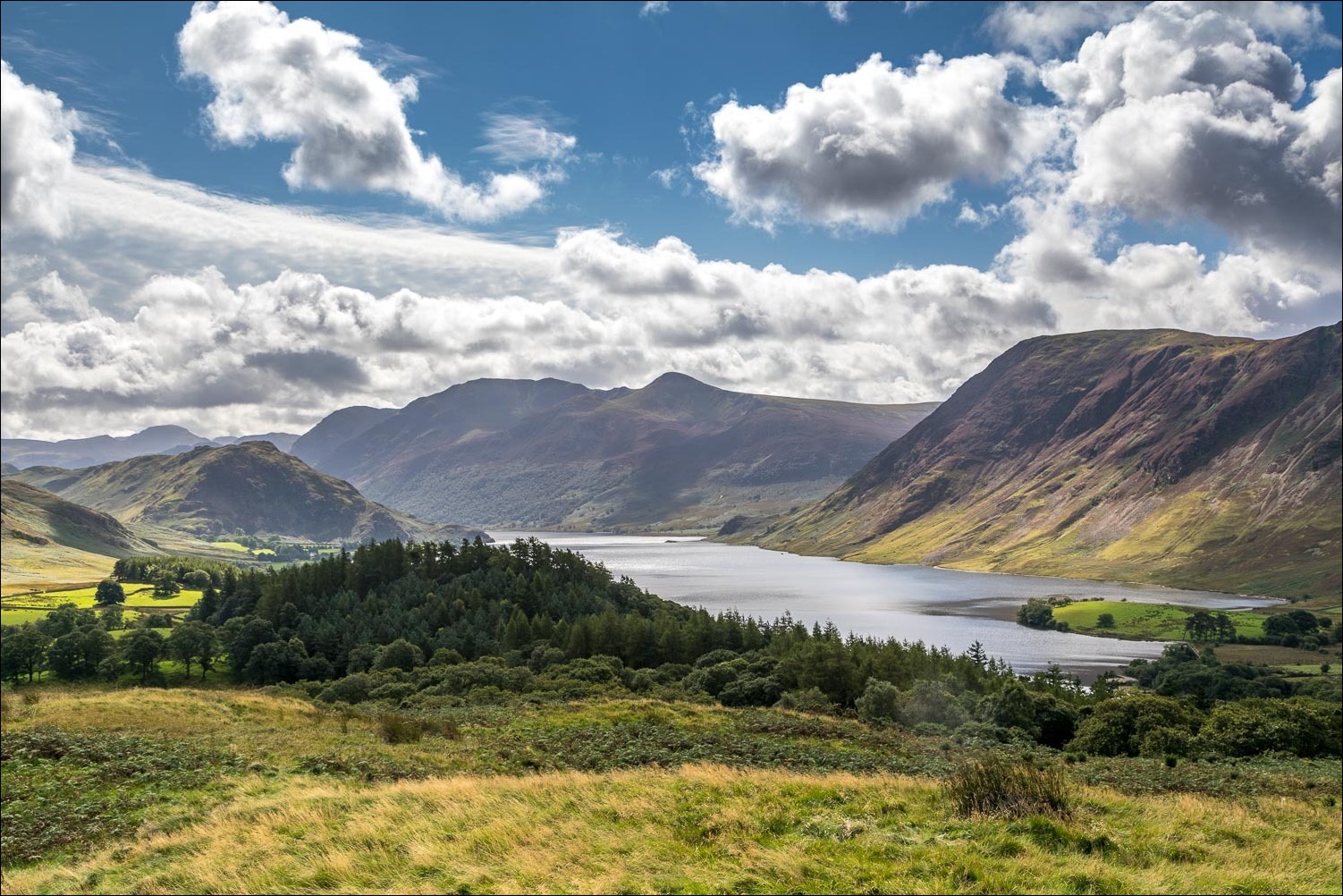
...south along Crummock Water

...and east to Lanthwaite Green at the foot of Grasmoor

Rannerdale Knotts, the High Stile range and Mellbreak

Loweswater again...


We descend gently towards Crummock Water

Looking over Lanthwaite Wood

We re-enter the wood

We follow a delightful path which hugs the edge of the wood...


Looking across to Lanthwaite Green

The path leads us down to Crummock Water


The boathouse at the edge of the lake - we turn right here to follow the path above the shore


Bench with a view...


We arrive at the foot of Crummock Water, a wonderful climax to a wonderful walk, and from here it's a short stroll back to the start
