
Route: Huggate Circular
Area: East Yorkshire
Date of walk: 2nd February 2014
Walkers: Andrew and Gilly
Distance: 8.3 miles
Ascent: 800 feet
It was refreshing to see some blue skies at last as we left the village of Huggate, having parked near St Mary’s Church. We walked along Mill Lane for a short while, then turned off to join Hawold Bridle Road
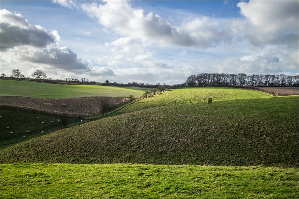
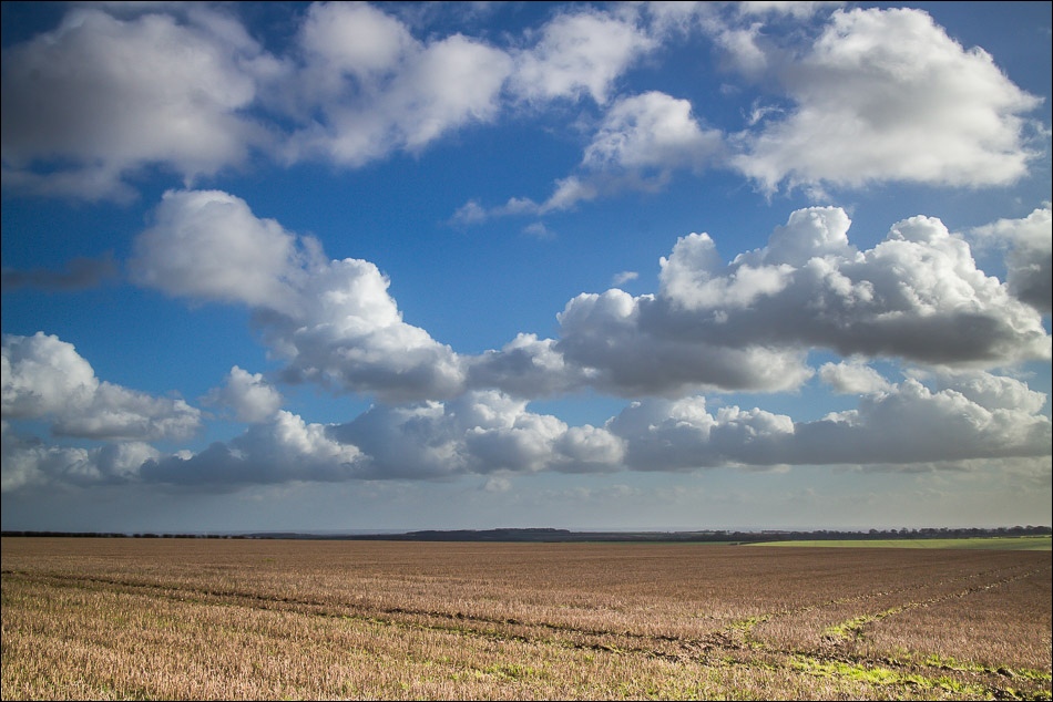
After a while we joined the Chalkland Way and this took us along charming dales and across typical rolling Wolds landscape
The sun disappeared for a while but towards the end of the walk it reappeared, this time accompanied by the ‘big skies’ for which this area is renowned, making a lovely ending to this enjoyable walk
For other walks here, visit my Find Walks page and enter the name in the ‘Search site’ box
Click on the icon below for the route map (subscribers to OS Maps can view detailed maps of the route, visualise it in aerial 3D, and download the GPX file. Non-subscribers will see a base map)

Scroll down – or click on any photo to enlarge it and you can then view as a slideshow

The village green Huggate

Walking out of Huggate along Mill Lane

Hawold Bridle Road, part of the Minster Way

Bonnie

Further along the bridle road

Millington Dale
Frendal Dale

I wasn’t worried as I could always hide behind Gilly

Further along the Chalkland Way
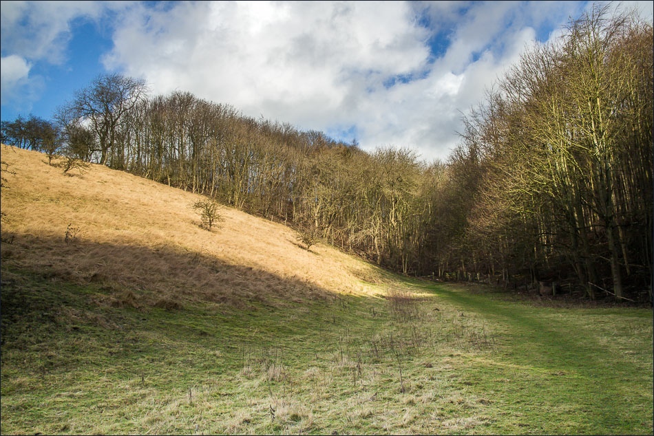
Entering Great Plantation
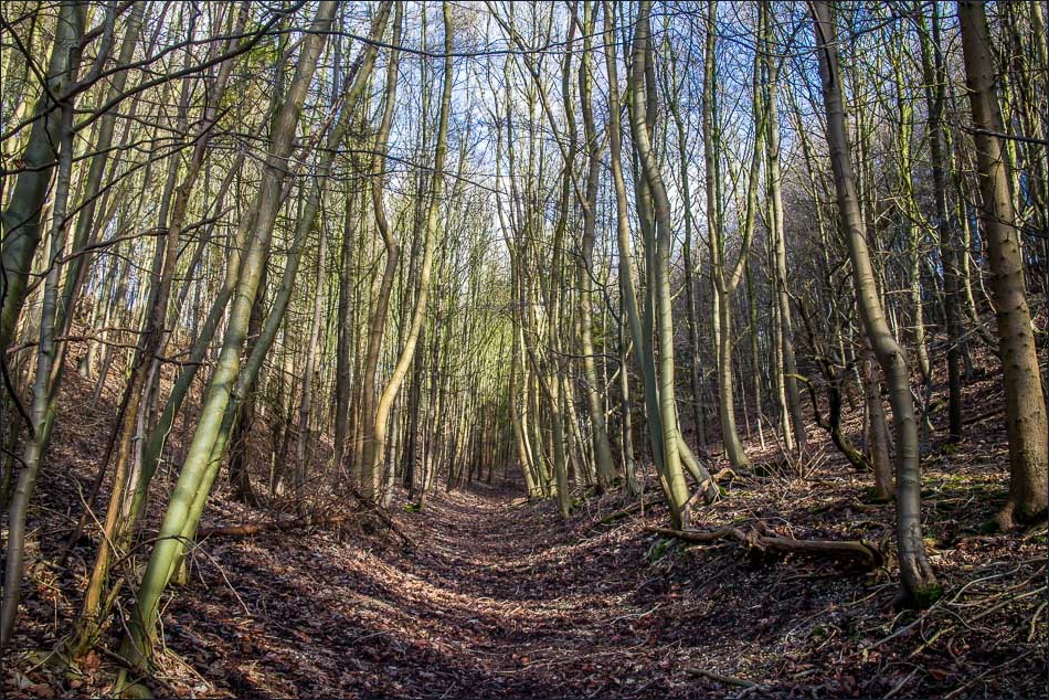
Great Plantation

Two curious stones, one saying ‘Wallis Watermanhole’ and the other ‘Petrol 5 furlongs opus est’

Approaching Wold House Farm
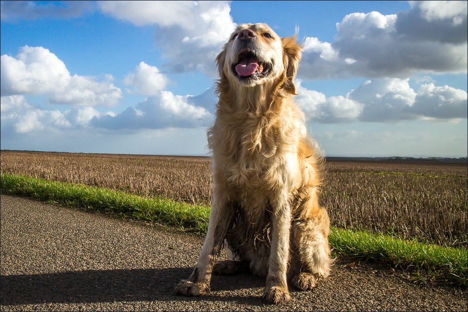
One happy pooch


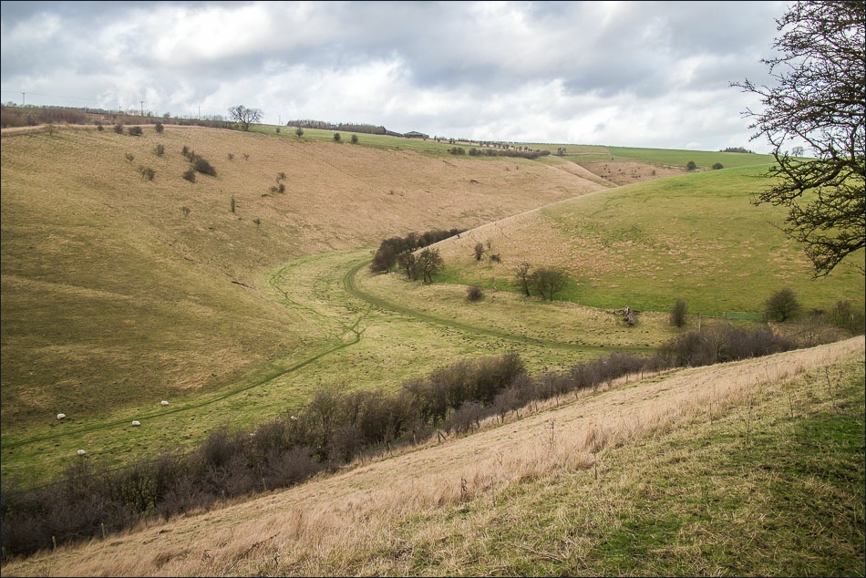
Horse Dale

Looking down to Horse Dale

Back on the Yorkshire Wolds Way and heading towards Huggate

Huggate ahead
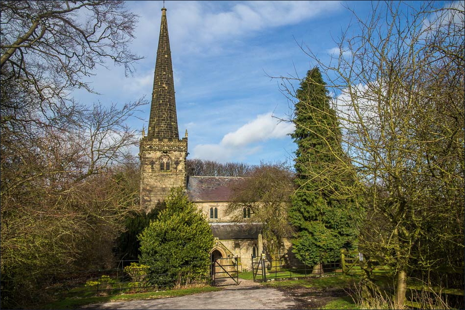
Back to the start - St Mary’s Church Huggate
