
Route: Circuit of Buttermere
Area: Western Lake District
Date of walk: 21st April 2015
Walkers: Andrew
Distance: 5.1 miles
Weather: Sun and blue skies
I’ve lost count of the number of times I’ve walked round Buttermere, it’s a low level walk that I could never tire of and is full of beauty every step of the way. The accessibility of the walk, along with the glorious scenery, can make it too busy at times and walkers who prefer a bit of solitude need to plan the timing of their outing carefully
I wasn’t able to set out until late in the day and I hoped that by then most folk would have come and gone. Once past the village this proved to be the case and I only saw a handful of people along the way
I parked as usual in the National Trust car park at Long How, and walked through Buttermere village, passing the Fish Inn and following the path to the foot of the lake. After crossing the temporary footbridge over Buttermere Dubs I set off along the lakeshore path which leads to the head of Buttermere. My luck was in today, since my arrival at the head of the lake (the most beautiful section of the walk in my opinion) coincided with some good light as patches of sun broke through the clouds
After crossing Peggy’s Bridge and passing by Gatesgarth Farm I started the return leg along the other shore, and as I did so the clouds rolled in and this turned out to be the last of the good light
I then passed through the short tunnel in the rocks near Hassness and followed the sometimes rocky path back into Buttermere village
The scenery was as stunning as ever, especially in the late afternoon sunlight and it was t-shirt weather for the whole walk for the first time this year. This was thirsty work, so when I arrived back in Buttermere I popped in to the excellent Walkers Bar at the Bridge Hotel for ‘refreshments’ – and very refreshing it was too
For other walks here, visit my Find Walks page and enter the name in the ‘Search site’ box
Click on the icon below for the route map (subscribers to OS Maps can view detailed maps of the route, visualise it in aerial 3D, and download the GPX file. Non-subscribers will see a base map)

Scroll down – or click on any photo to enlarge it and you can then view as a slideshow

Walking past Crag House cottages from the National Trust car park at the start of the walk

Fleetwith Pike

Walking beside the foot of Buttermere towards Burtness Wood

Entering the Promised Land

This is Buttermere

…and this is Bonnie, half dog half fish

The Shake

I cross the footbridge over Buttermere Dubs

The lakeside path, with Burtness Wood on the right

Looking back to Buttermere village


Fleetwith Pike left and Haystacks right

Approaching the head of the lake

The bothy by the shore of the lake, with Fleetwith Pike towering overhead

Turn right for Haystacks, which I’d climbed a few days ago, but today I carry straight on

How now brown cow

From the footbridge over Warnscale Beck, looking towards Fleetwith Pike and Haystacks

And looking the other way back along Buttermere

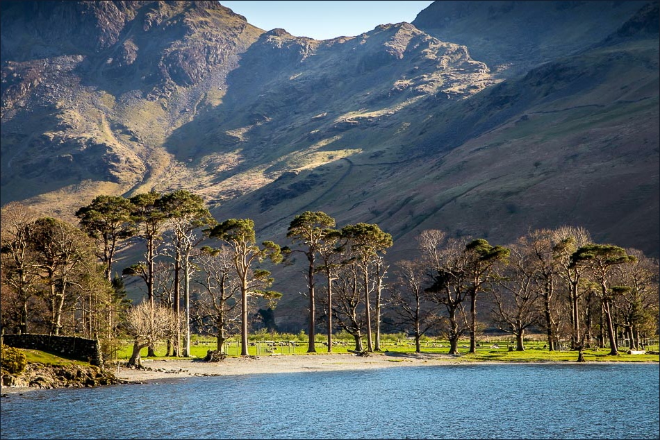
Buttermere pines and Warnscale Bottom

The bothy again, with Mellbreak beyond

Haystacks and Scarth Gap

After a short section along the road, I’m now on other side of the lake, on the path back to Buttermere village

Buttermere pines and Scarth Gap

I can’t help looking back to Haystacks

Comb Beck

Entering the tunnel, made by a former owner of Hasness Estate so that he didn’t need to stray too far from the shore

Light at the end of the tunnel

View across the lake

Approaching the foot of Buttermere


Herdies

…and a couple of lambs

Almost back to Buttermere village

The ice cream shop was closed by now, but I found consolation elsewhere……

…at the nearby Bridge Hotel in Buttermere - a golden end to a golden afternoon
