
Route: Borrowdale
Area: Western Lake District
Date of walk: 6th April 2016
Walkers: Andrew
Distance: 8.5 miles
Ascent: 900 feet
Weather: some dry spells but numerous hail and rain showers
Today’s walk links all the villages in the beautiful valley of Borrowdale, with the exception of Grange which lies on the other side of its ‘Jaws’ – the point where the valley squeezes between Castle Crag and Grange Fell
The villages in question are Seatoller, Seathwaite, Stonethwaite and Rosthwaite – in order of appearance on the walk. When I arrived at the National Trust car park in Seatoller it was raining and hailing (nearby Seathwaite is by repute the wettest inhabited place in England). As soon as it stopped I set off down the quiet lane to Seathwaite – the village is a dead end so there is no through traffic
After passing though the village I returned along the other side of the valley and made a short ‘in and out’ to Stonethwaite before joining the Cumbria Way and making my way to the last village of the quartet – Rosthwaite. From there I followed the path beside the River Derwent back into Seatoller
It was raining or hailing for much of the time, and the photos which follow were snatched during such dry spells as there were
For other walks here, visit my Find Walks page and enter the name in the ‘Search site’ box
Click on the icon below for the route map (subscribers to OS Maps can view detailed maps of the route, visualise it in aerial 3D, and download the GPX file. Non-subscribers will see a base map)

Scroll down – or click on any photo to enlarge it and you can then view as a slideshow

Red squirrel in the garden before I set off this morning

Hailstorm through the car window as I waited in Seatoller for a break in the weather

Eventually the hail stopped (but not for long)

The Seathwaite turning is a few yards down the road out of Seatoller


The quiet lane leading to Seathwaite

I turn off the lane to follow a track beside Nichol Dub

One of the ‘Fraternal Four’ yew trees immortalised by Wordsworth and calculated to be 1,500 years old

Seathwaite - the starting point for many grand adventures on the higher fells

Sourmilk Gill

Looking along the valley as I walk into Seathwaite

I took shelter here from another downpour


I leave Seathwaite to return along the other side of the valley


Looking back


Another hailshower as I walk above Seatoller

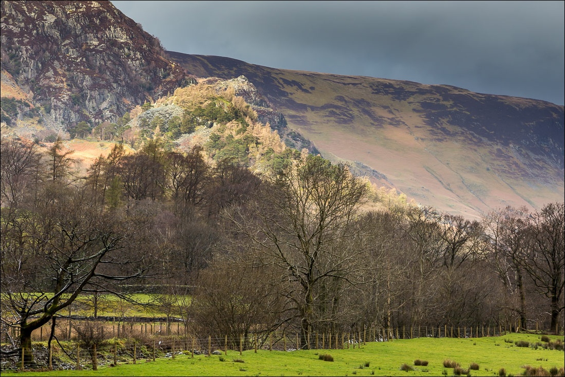
Castle Crag and Grange Fell - the Jaws of Borrowdale

Another passing hailshower

Looking back

Approaching St Andrew’s Church Stonethwaite (situated outside the village)

The church gate

Stonethwaite, with Eagle Crag towering above it

The Langstrath Country Inn is at the end of the village

I cross over Stonethwaite Beck

Young lambs sheltering from the rain

Looking back to Eagle Crag

On the Cumbria Way

Sunlight on Castle Crag


Herdy

Approaching Rosthwaite

I cross the bridge over Stonethwaite Beck

Castle Crag again

Robin in Rosthwaite


Just beyond the village I pass through ‘Boot Camp’ in the grounds of the YHA

Path beside the River Derwent on the edge of Johnny Wood

Looking along the Derwent

The path back to Seatoller


A final look across Borrowdale as I arrive back at the start

Red squirrel in the garden later that day
